


Bathymetry Hunga Tonga-Hunga Ha’apai volcano
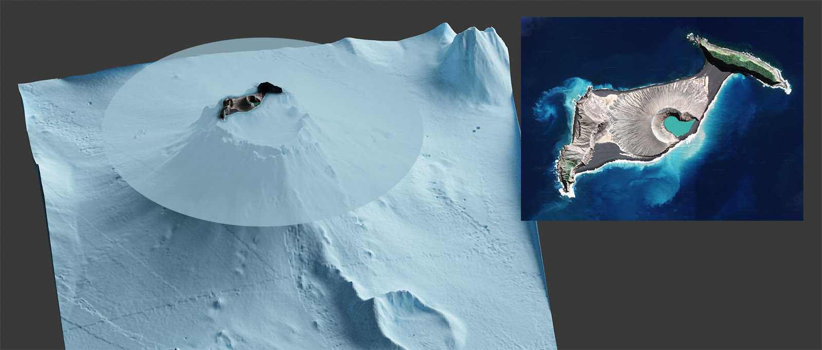
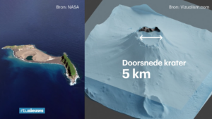
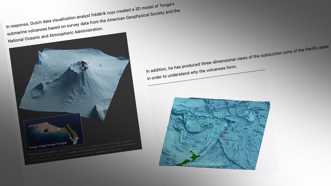
 What lies beneath? Revealing the massive Hunga caldera (~ 5 km diameter) below the waterline. 3D model using elevation data from American Geophysical Union and bathymetrics from National Oceanic & Atmospheric Administration. Rendered with Blender.
Original resources
- Bathymetry (source: GEBCO)
- Photogrammetry (source: AGU) DEMs from 2015-01-19 to 2017-09-19
- Bathymetry (source: NOAA): Extract (North/West: -20.45 / -175.5; South/East: -20.7 / -175.25) from bathymetric grid from the NCEI Multibeam Bathymetry Mosaic. The depth values are in meters, stored as 32-bit floating point values. The cell size is 3 arcseconds (approx. 90m).

Exploring interactive 3D-model
Tweets
|
|
Publications
 Welt ▶ (Germany) Welt ▶ (Germany)
|
 RTL Nieuws ▶ (The Netherlands) RTL Nieuws ▶ (The Netherlands)
|
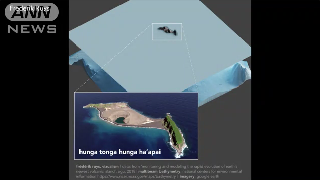 ANN News ▶ (Japan) ANN News ▶ (Japan)
|
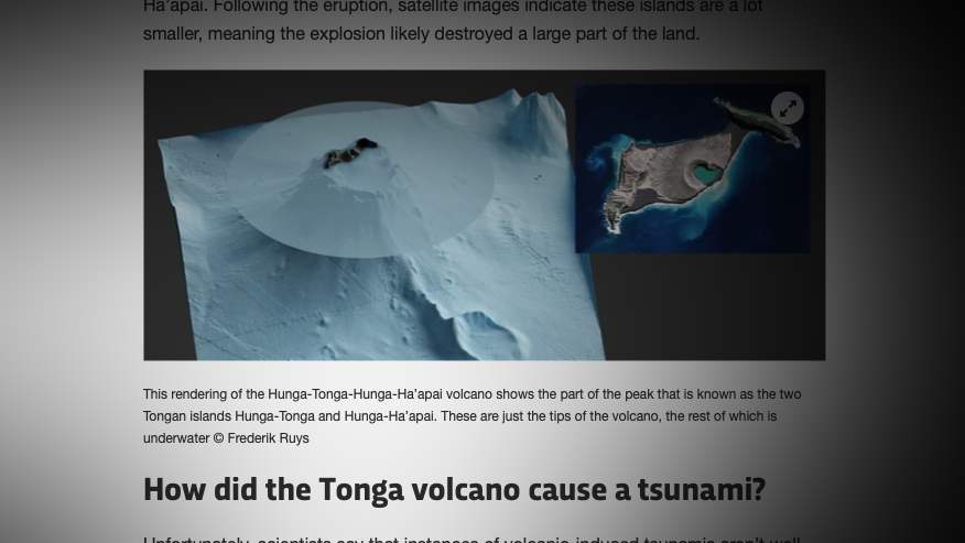 BBC ScienceFocus ▶ (UK) BBC ScienceFocus ▶ (UK)
|
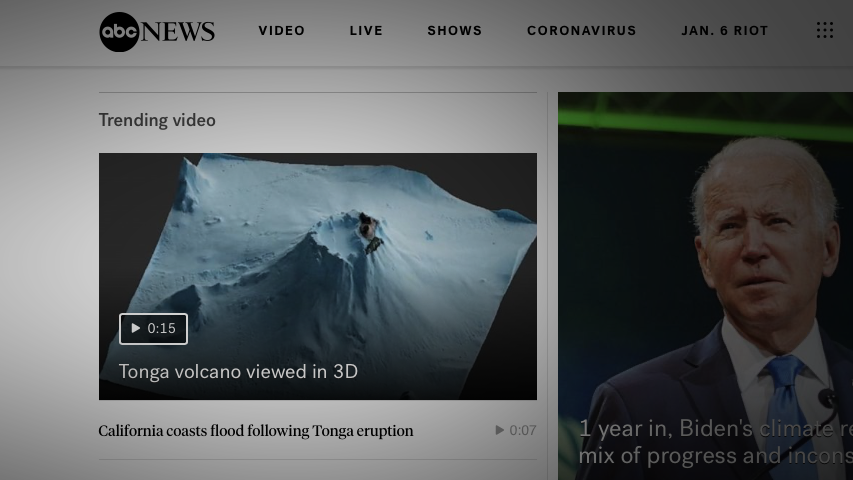 ABC News ▶ (USA) ABC News ▶ (USA)
|
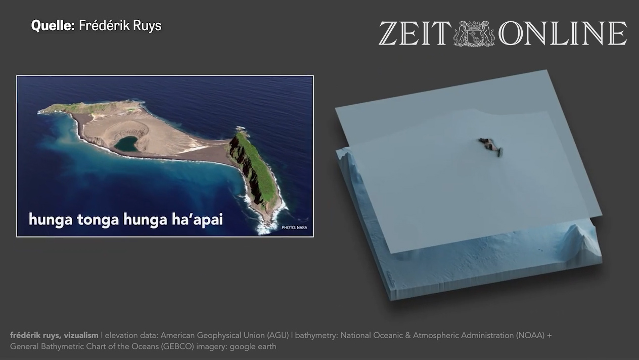 Ziet Online ▶ (Germany) Ziet Online ▶ (Germany)
|
 Telecino ▶ (Spain) Telecino ▶ (Spain)
|
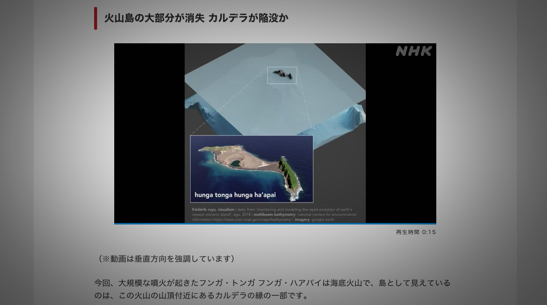 NHK ▶ (Japan) NHK ▶ (Japan)
|
 INF News ▶ (China) INF News ▶ (China)
|
Original HD animation