













Kersbergen
.slider-info-19343.bafg-slider-info .bafg-slider-title {
font-size:
22px ;
}
.slider-info-19343.bafg-slider-info .bafg-slider-description {
}
.slider-info-19343.bafg-slider-info .bafg_slider_readmore_button {
text-align: center;
}
.slider-info-19343.bafg-slider-info .bafg_slider_readmore_button:hover {
}


Virtuele vogelvlucht over onbewolkt Nederland

Nederland in volle glorie: een zonovergoten Nederland vastgelegd in een satellietmozaïek van 1 mei 2026. Vogelvlucht over de wijdse Wadden, slingerende Schelde, verdronken velden, spiegelende meren, bloeiende bloemen.
Bouwjaar Utrecht kleurt oranje (… en rood, blauw…)
 165.208 panden in de Utrechtse binnenstad gekleurd op basis van het geregistreerde bouwjaar. Data: Gemeente Utrecht (bomenbestand), Kadaster (basisregistratie grootschalige topografie) en TU Delft (BAG3D).
KNMI Geoquest
<div id="_wrapper" style="position:relative; width:100%; height:80vh; font-family:Arial, sans-serif;">
<div id="_map" style="width:100%; height:100%;">
Breedtegraad
<div id="_latDigits" style="display:flex; gap:2px; margin-bottom:6px;">
<div id="_latDigits" style="display:flex; gap:2px; margin-bottom:6px;">
Lengtegraad
<div id="_lonDigits" style="display:flex; gap:2px;">
(function() {
const imageUrl = 'https://www.vizualism.nl/wp-content/uploads/color_maps_view.png';
// From color_maps_view.pgw
const A = 0.25;
const D = 0.0;
const B = 0.0;
const E = -0.25;
const C = 140365.49601;
const F = 457192.46368;
const mapId = '_map';
const latDigitsId = '_latDigits';
const lonDigitsId = '_lonDigits';
// 4 editable decimals + 1 fixed wildcard digit
const COORD_TEMPLATE = '00.0000-';
proj4.defs('EPSG:28992',
'+proj=sterea +lat_0=52.15616055555555 +lon_0=5.38763888888889 ' +
'+k=0.9999079 +x_0=155000 +y_0=463000 ' +
'+ellps=bessel ' +
'+towgs84=565.2369,50.0087,465.658,' +
'-0.406857330322397,0.350732676542563,-1.8703473836068,4.0812 ' +
'+units=m +no_defs'
);
ol.proj.proj4.register(proj4);
const rd = ol.proj.get('EPSG:28992');
let bounds = null;
let imageLayer = null;
const maskSource = new ol.source.Vector();
const maskLayer = new ol.layer.Vector({
source: maskSource,
style: function(feature) {
const type = feature.get('type');
if (type === 'mask') {
return new ol.style.Style({
fill: new ol.style.Fill({ color: 'rgba(0,0,0,0.5)' })
});
}
if (type === 'outline') {
return new ol.style.Style({
stroke: new ol.style.Stroke({ color: '#ffffff', width: 2 })
});
}
return null;
}
});
const map = new ol.Map({
target: mapId,
layers: [maskLayer],
view: new ol.View({
projection: rd,
center: [0, 0],
zoom: 2
})
});
function clamp(val, min, max) {
return Math.max(min, Math.min(max, val));
}
function buildBounds(imgWidth, imgHeight) {
const minX = C - (A / 2);
const maxY = F - (E / 2);
const maxX = minX + imgWidth * A;
const minY = maxY + imgHeight * E;
return [minX, minY, maxX, maxY];
}
function readDigits(containerId, template) {
const inputs = document.getElementById(containerId).querySelectorAll('input');
let strMin = '';
let strMax = '';
let idx = 0;
for (const char of template) {
if (char === '.') {
strMin += '.';
strMax += '.';
} else if (char === '-') {
strMin += '0';
strMax += '9';
} else {
const val = inputs[idx].value;
if (val === '') {
strMin += '0';
strMax += '9';
} else {
strMin += val;
strMax += val;
}
idx++;
}
}
return [parseFloat(strMin), parseFloat(strMax)];
}
function refreshMapSoon() {
setTimeout(() => {
map.updateSize();
map.render();
}, 50);
}
function applyRange() {
if (!bounds) return;
const [latMin, latMax] = readDigits(latDigitsId, COORD_TEMPLATE);
const [lonMin, lonMax] = readDigits(lonDigitsId, COORD_TEMPLATE);
const bl = proj4('EPSG:4326', 'EPSG:28992', [lonMin, latMin]);
const tr = proj4('EPSG:4326', 'EPSG:28992', [lonMax, latMax]);
let x1 = Math.min(bl[0], tr[0]);
let x2 = Math.max(bl[0], tr[0]);
let y1 = Math.min(bl[1], tr[1]);
let y2 = Math.max(bl[1], tr[1]);
x1 = clamp(x1, bounds[0], bounds[2]);
x2 = clamp(x2, bounds[0], bounds[2]);
y1 = clamp(y1, bounds[1], bounds[3]);
y2 = clamp(y2, bounds[1], bounds[3]);
const minSize = 0.25;
if ((x2 - x1) < minSize) {
const cx = (x1 + x2) / 2;
x1 = cx - minSize / 2;
x2 = cx + minSize / 2;
}
if ((y2 - y1) {
if (char === '.') {
const span = document.createElement('span');
span.textContent = '.';
span.style.display = 'inline-block';
span.style.width = '8px';
span.style.textAlign = 'center';
span.style.lineHeight = '32px';
container.appendChild(span);
} else if (char === '-') {
const span = document.createElement('span');
span.textContent = '-';
span.style.display = 'inline-block';
span.style.width = '12px';
span.style.textAlign = 'center';
span.style.lineHeight = '32px';
span.style.fontWeight = 'bold';
container.appendChild(span);
} else {
const inp = document.createElement('input');
inp.type = 'text';
inp.maxLength = 1;
inp.placeholder = '_';
inp.inputMode = 'numeric';
inp.autocomplete = 'off';
inp.autocorrect = 'off';
inp.autocapitalize = 'off';
inp.spellcheck = false;
inp.pattern = '[0-9]*';
inp.style.width = '22px';
inp.style.height = '32px';
inp.style.textAlign = 'center';
inp.style.padding = '4px';
inp.style.boxSizing = 'border-box';
inp.style.fontSize = '16px';
const triggerUpdate = () => {
inp.value = inp.value.replace(/[^0-9]/g, '');
window.requestAnimationFrame(() => {
applyRange();
map.updateSize();
map.render();
});
};
inp.addEventListener('input', triggerUpdate);
inp.addEventListener('keyup', triggerUpdate);
inp.addEventListener('change', triggerUpdate);
inp.addEventListener('blur', triggerUpdate);
container.appendChild(inp);
}
});
}
createDigits(latDigitsId, COORD_TEMPLATE);
createDigits(lonDigitsId, COORD_TEMPLATE);
const img = new Image();
img.onload = function() {
bounds = buildBounds(img.naturalWidth, img.naturalHeight);
imageLayer = new ol.layer.Image({
source: new ol.source.ImageStatic({
url: imageUrl,
projection: rd,
imageExtent: bounds
})
});
map.getLayers().insertAt(0, imageLayer);
map.getView().fit(bounds, {
padding: [20, 20, 20, 20]
});
applyRange();
refreshMapSoon();
};
img.src = imageUrl;
window.addEventListener('resize', () => {
refreshMapSoon();
});
window.addEventListener('orientationchange', () => {
refreshMapSoon();
});
})();
<?php
return ob_get_clean();
}
add_shortcode('geoquest', 'vizualism_digit_range_mask_shortcode');

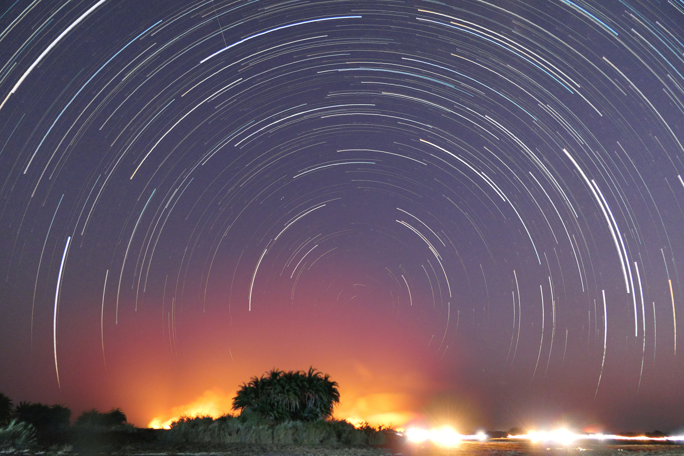
 Een verduisterde maan stijgt boven het voormalig Ooglijdersgasthuis in Utrecht. De lichtpuntjes links: het spoor van Saturnus 🪐.
 Timelapse